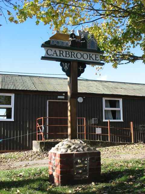
Carbrooke is a village and civil parish in the Breckland district of mid-Norfolk, East Anglia, England in the United Kingdom. It is 3 miles from the centre of Watton, 8 miles from Dereham and 17 miles from its postal town of Thetford.
Back to Broadland & The Broads
Broadland & The Broads
Description
Description
Carbrooke village is located in the Wayland Hundred of Norfolk, pre-Roman, Roman and Saxon artefacts have been found in the area. The first census carried out in Britain – the Domesday Survey of 1085, established land ownership following the Norman invasion of 1066, and mentions Carbrooke, which is entered as Cherebroc.


